We Track Meeting MinutesFindingApplications.

“I can finally know about a rezoning before my competition knows about it, without having to worry if I am the second to know”
Be first. Stay first.
Ensure being first to know about rezoning applications in your area. Save the ones you like and receive notifications on any change they go through (i.e. voting or conditional approval).
Trusted by Land Acquisition Professionals from U.S. Top Regional & National Homebuilders.
Why track Rezoning & Variance Applications?
Most teams still scrape council agendas manually. ReScout shows the signal instantly—so you act first.
Why ReScout?
Comprehensive Coverage
Track 14+ types of development applications and permits across the US.
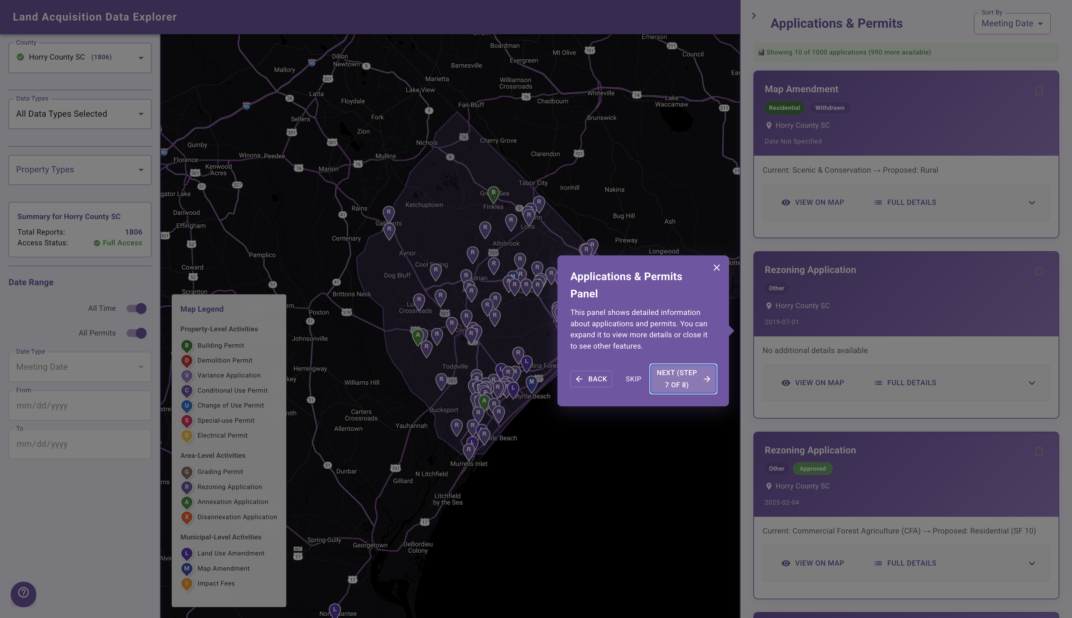
Rezoning & Application Data
View rezoning applications, variance applications, and permit data across over 27 counties in the United States.
Sort What Matters
Easily view any of the data types, from rezoning applications to annexation and disannexation.
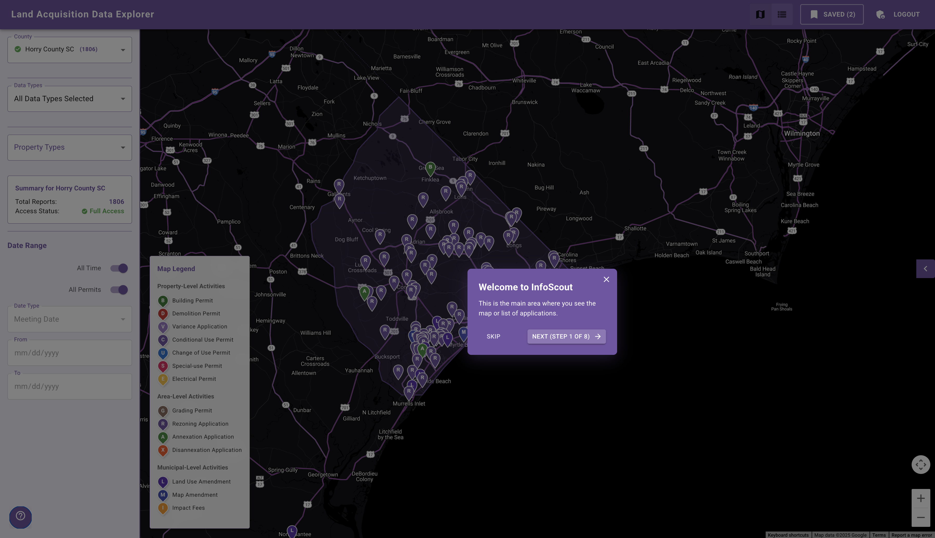
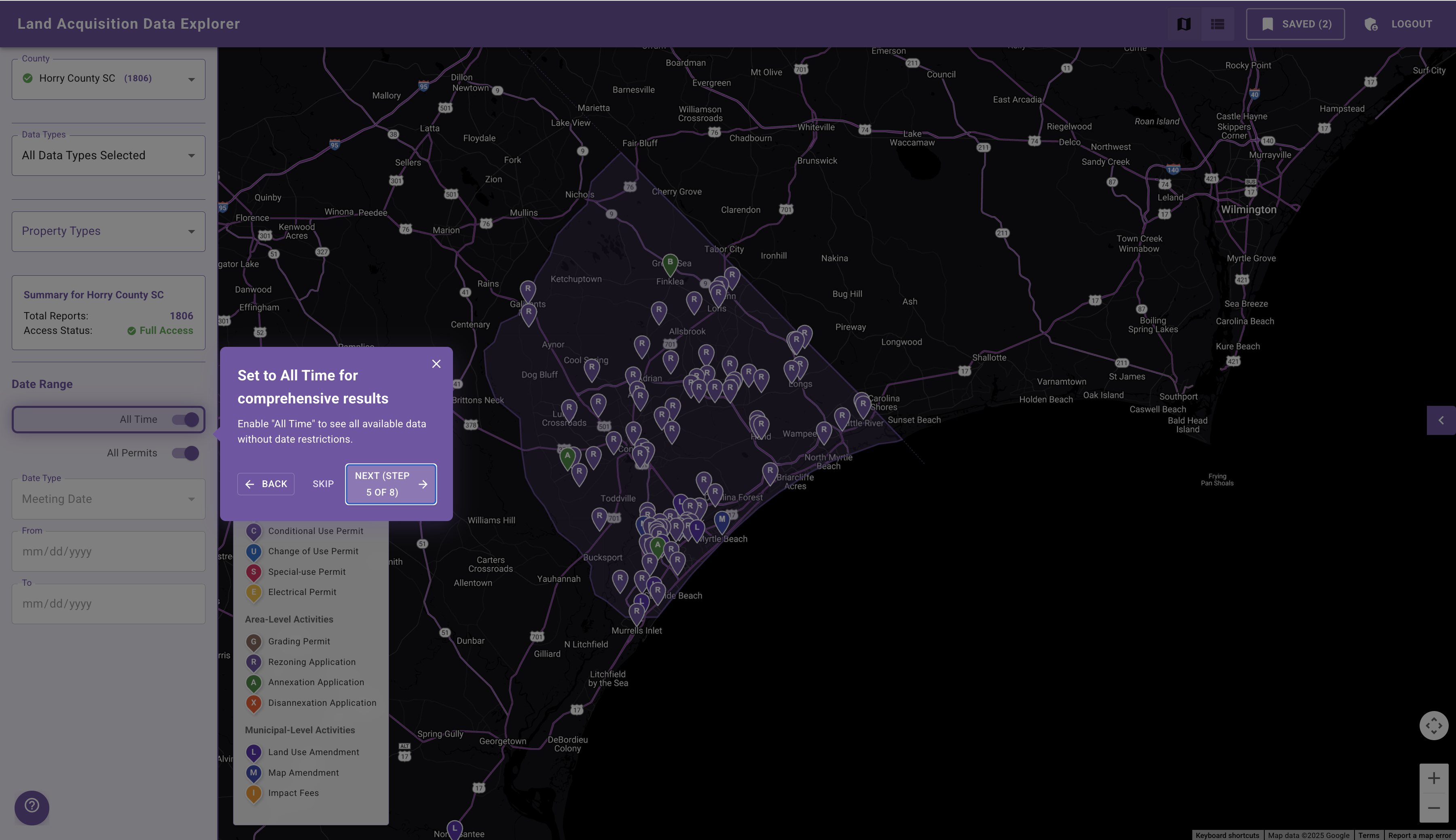
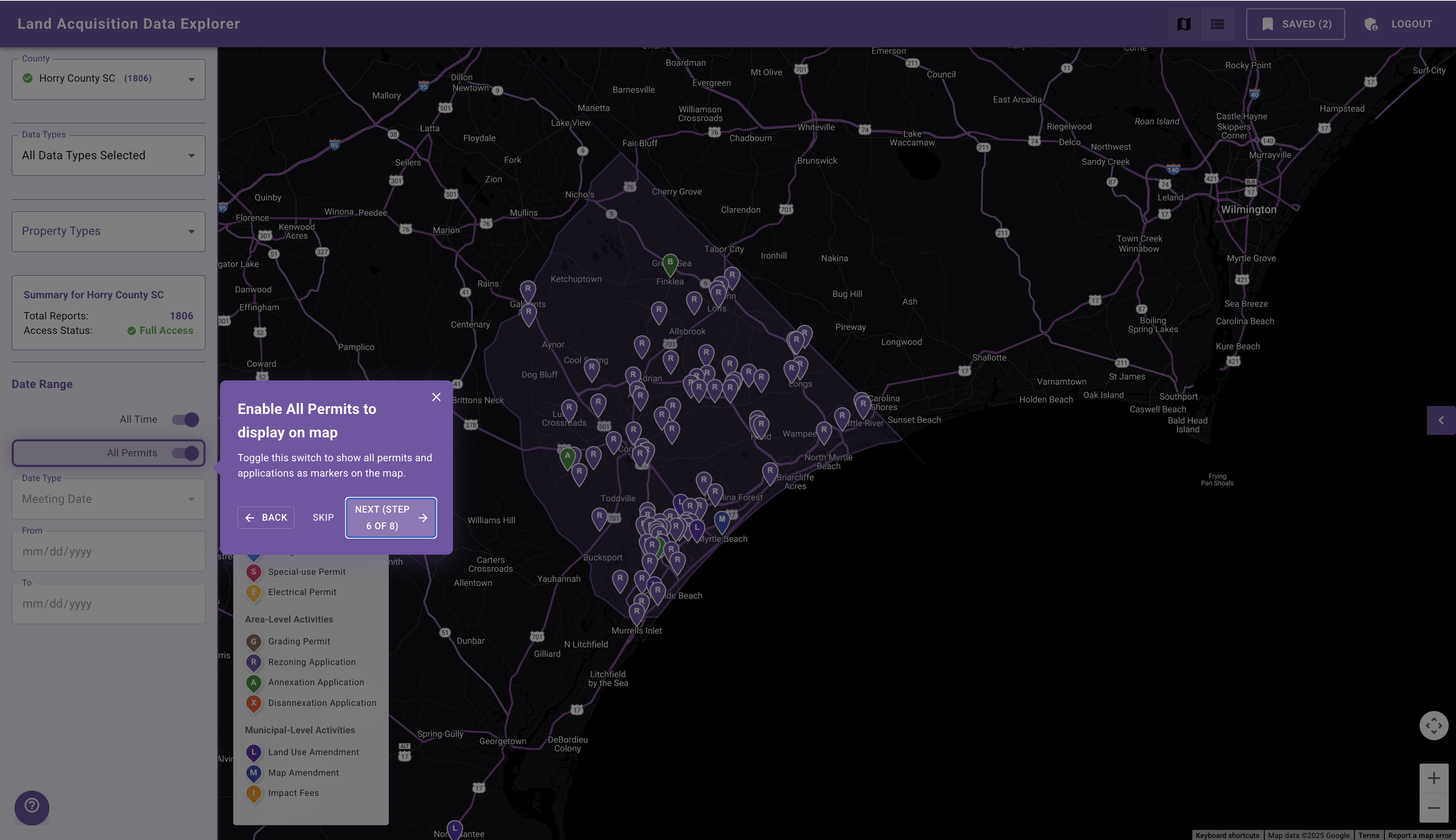
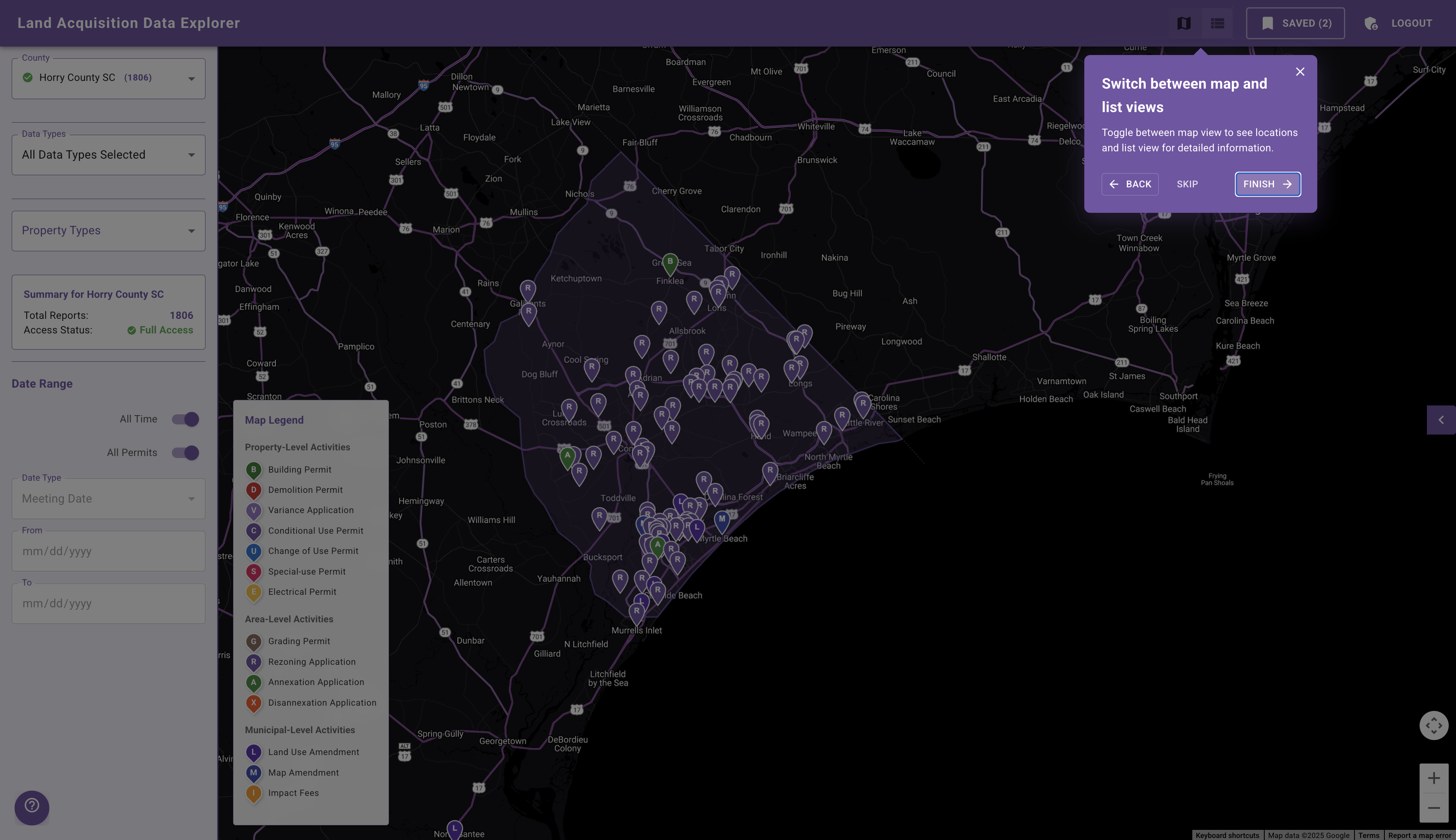
Explore Map View
Track application and permit data across different geographies, made easier by an intuitive map view.
What Others Say
Hear from other real estate professionals.
"I think that'd be very beneficial. In tracking down some of these owners of these parcels, it lists a P. O. Box. And yeah, it's very tough to get to a phone number or to an email in order to reach out to them. And it's inefficient to mail them all snail mail."
"That sounds great. That seems like a big value add there to be able to vet whether someone picks up... I call 100 phone numbers, I'll get five people that pick up and I'll get five voicemails where the person says their name... this would cut down on my time a lot and help me get in contact with real people."
"A lot of time is dedicated to prospecting and it is a pretty time-crunching process. Being able to utilize something like this, where you've got all of the information for the clients and being able to enter it in and having a campaign kind of run without you having to individually write every email definitely does help."
"I just love the idea of incorporating AI. I don't think everything has to be as hard as it really is. I think AI helps out with that a lot. I think it's a cool thing you guys are doing."
"I mean, this is gonna be a game changer for a lot of folks, the ones that get their hands on it first."
"I could definitely benefit from a few of the different tools... get more deals coming in and then get more accurate and quicker responses... because I can't reach out to every single one of them as quickly as [needed]."
"Home building and land and development is so lacking in the technological advancements. There's a ton of room for improvements... it's just very, very elementary still for how much money is in our industry. I've always been shocked that no one has really jumped in to make those advancements."
Comprehensive Data Coverage
ReScout provides detailed information on all types of land development activities, ensuring you never miss an opportunity.
Click Data Type to Expand
Rezoning Applications
Variance Applications
Building Permits
Grading Permits
Demolition Permits
Change of Use Permits
Conditional Use Permits
Annexation Applications
Disannexation Applications
Special-use Permits
Electrical Permits
Land Use Amendments
Map Amendments
Impact Fees
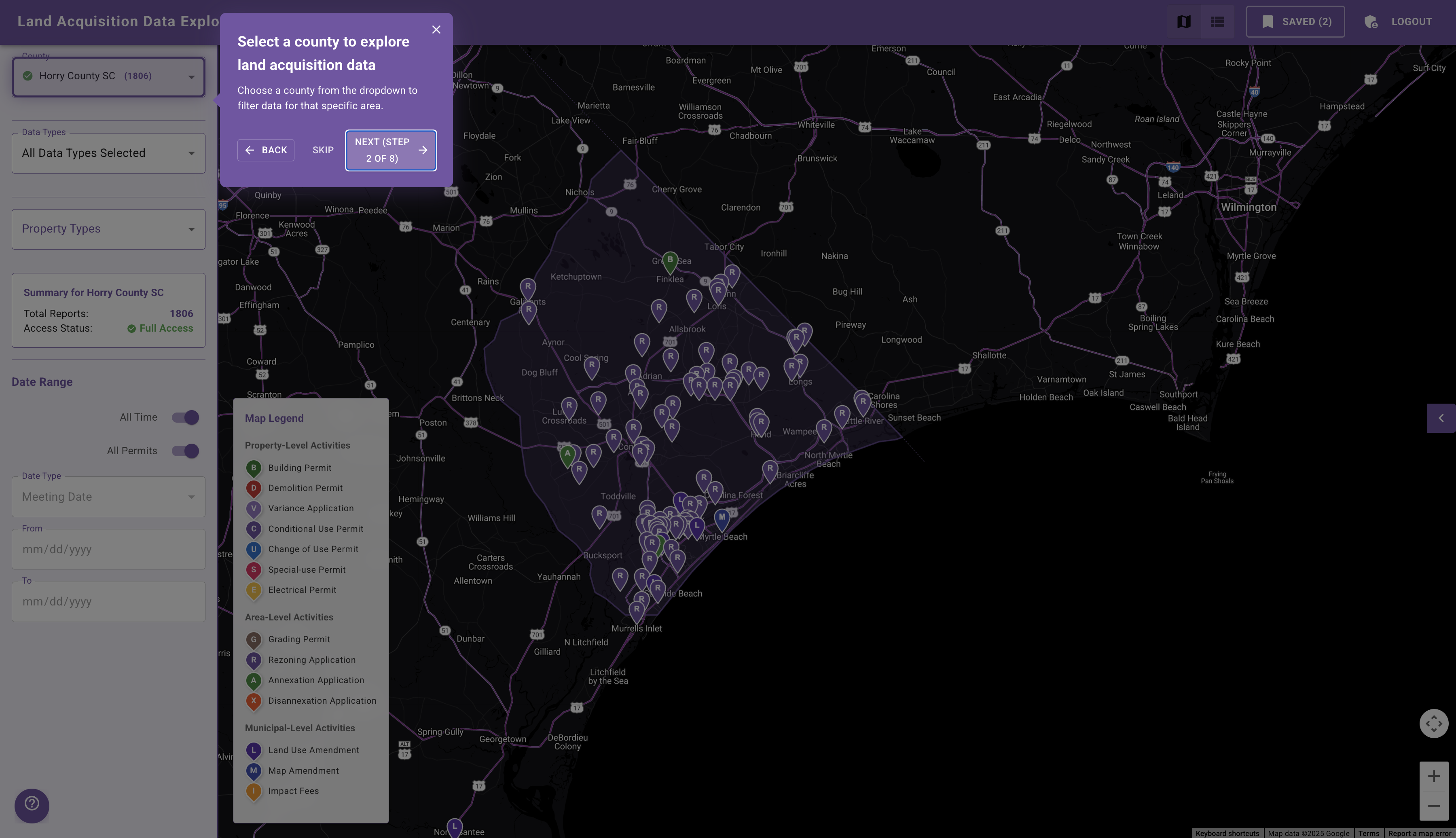
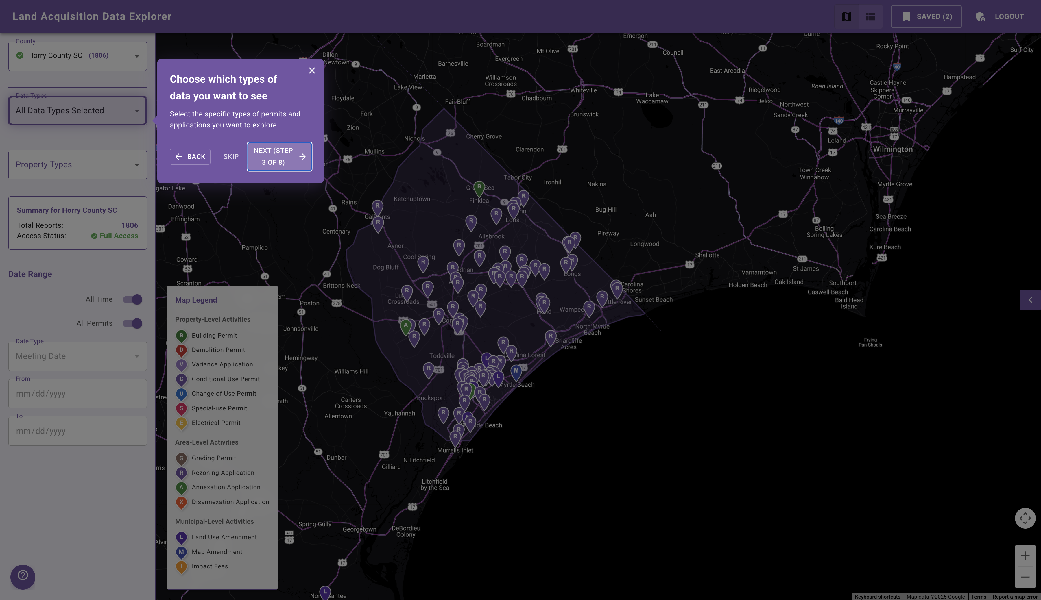
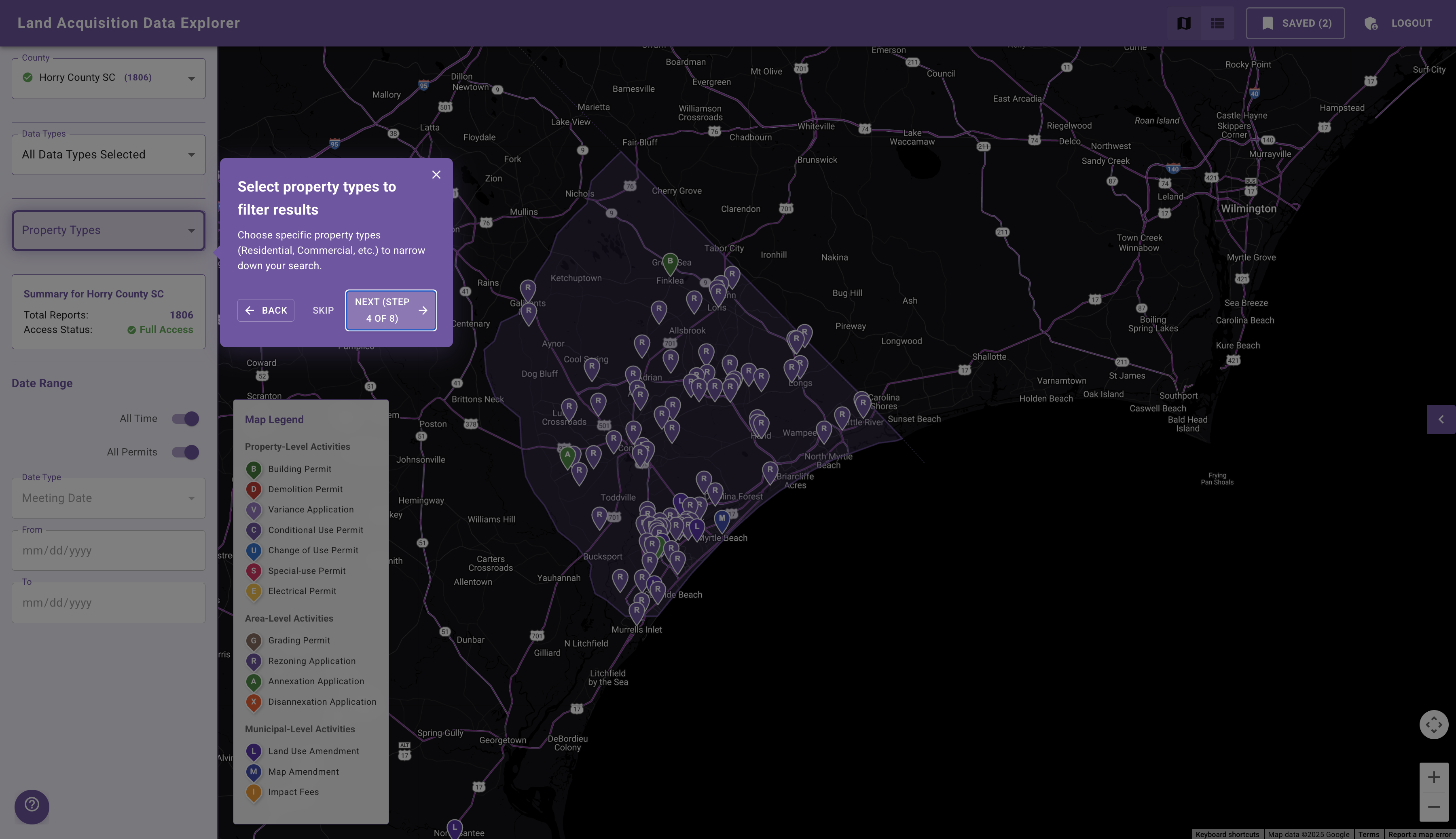
See How It Works
Follow these simple steps to explore land acquisition data with ReScout.
Frequently Asked Questions
Find answers to the most common questions about ReScout.
Get Started with ReScout
Join the next generation of land development intelligence. Get comprehensive coverage of all development activities in your target markets.